


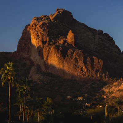
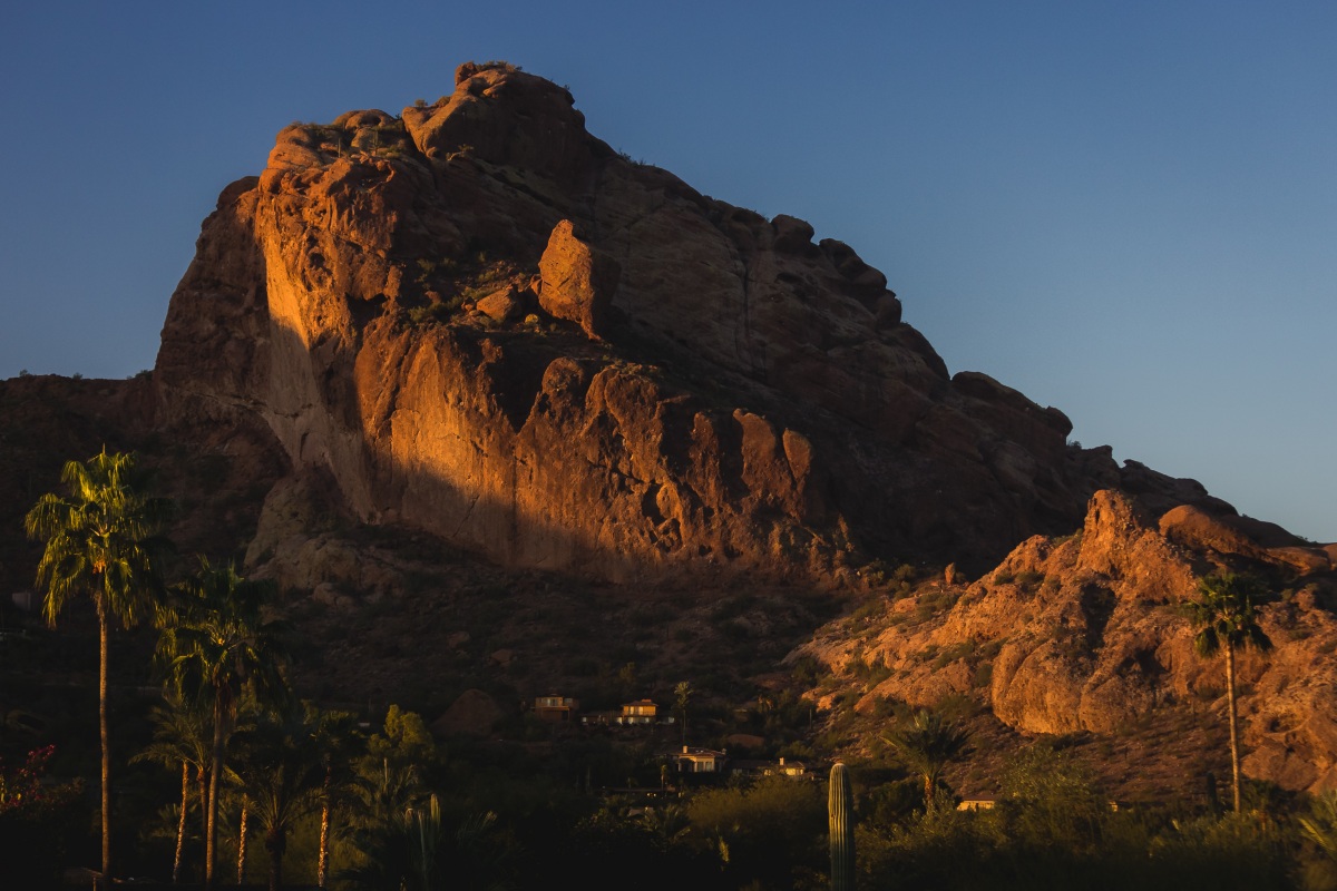
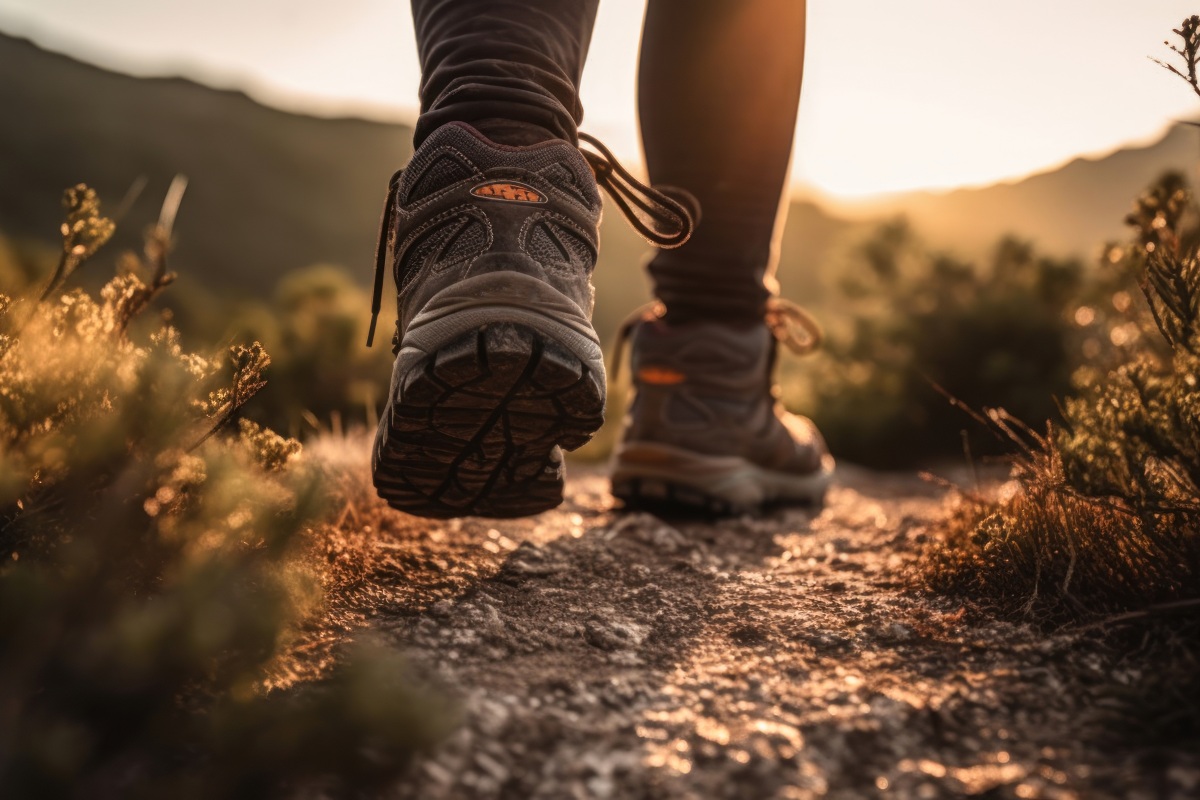
Make The Most Of The Outdoors With The Best Hiking Trails In Paradise Valley
Paradise Valley’s trails speak for themselves. Wide-open skies with gritty climbs and smooth desert loops. Staggering views and trails that push you. Here, miles matter less than where your boots lead and how the trail makes you feel.
From heart-racing ridges to serene canal paths, this is hiking in Paradise Valley turned up to ten.
Let’s skip the fluff and hit the trails. These routes are made for sweat, sand, and soul.
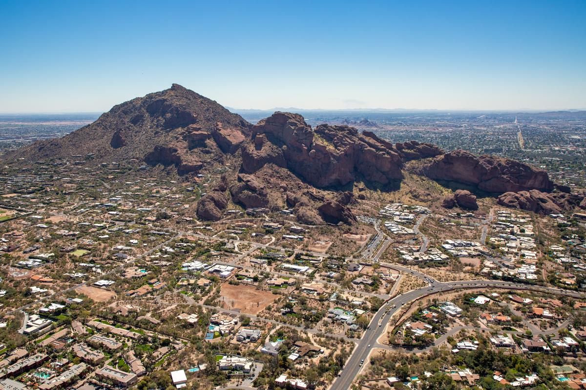
A Quick History Of Hiking In Paradise Valley
Long before trail markers dotted the landscape, the land beneath Paradise Valley’s peaks hosted Indigenous footpaths. Ancient travelers knew these ridges and washes well.
In the early 1900s, ranchers and settlers traced their routes across what’s now a patchwork of preserves.
Today, hiking in Paradise Valley blends the old and the new, where historic land use meets modern outdoor obsession. Conservation efforts over the decades have helped shape what we now walk on and have forever crafted the town’s history.
That mix of preservation and passion? It’s what makes these areas tick.

Trails For Wildlife & Desert Flora Enthusiasts
Forget the summit. The real show happens down low in the brush, along the rocks on trails where the air stays still and the desert speaks to you.
Hidden Valley Trail Via Mormon Trail
Hidden Valley via Mormon Trail brings petroglyphs, a natural rock tunnel, and slot-style canyons, all in a quick 3.4-mile loop. It’s punchy, a little wild, and just vertical enough to work up a sweat.
Short? Yes. Soft? Not even close.
Most hikers wrap it in 1.5 to 2 hours, but give yourself wiggle room if you plan to pause for views or squeeze through Fat Man’s Pass.
- Start point: Mormon Trailhead (24th Street & Valley View)
- Trail type: Loop
- Distance: 3.4 miles
- Duration: 1.5 to 2 hours
- Elevation: Moderate gain around 925 feet
- Best time to hike: Sunrise or early morning
- Surface: Rocky, with canyon narrows and tunnel scrambles
- Recommended gear: Lightweight trail shoes with strong tread, water (1+ liter), hat, sunscreen
- Kid-friendly: Yes, for hiking-savvy kids eight and up
- Dog-friendly: Leashed dogs are allowed, but tunnels may challenge bigger breeds
There’s no shade on this trail, so bring sunscreen, a hat, and plenty of water. It might be smart to skip the midday heat entirely even if it feels like an easy option because it’s close to town, but don’t let that fool you.
At a minimum, pack a liter of water per person. The sun, the rocky terrain, and the climb can drain you fast. Most people don’t realize how quickly things get rough out here.
Kyrene Canal Path
Hawks above, breeze on your neck, and pavement that feels endless. That’s the vibe along the Kyrene Canal. You can go a mile or take it all the way through Tempe and Chandler. Your call.
Mesquite and palo verde trees frame parts of the path, softening the sun and creating a quiet rhythm as you go. There is no incline, no urgency, and rarely a crowd (except near parks or major intersections).
- Start point: Western Canal Path near Ken McDonald Golf Course (Tempe)
- Trail type: Out-and-back
- Distance: Up to 8 miles
- Duration: Walk a mile or the full 8, for 20 minutes to 3 hours
- Elevation: Flat
- Best time to hike: Early morning or evening
- Surface: Mix of paved and compact dirt
- Recommended gear: Light shoes, hat, sunscreen, water
- Kid-friendly: Yes, all ages
- Dog-friendly: Yes, leashed
This trail doesn’t offer shade everywhere, so start early or go late. Bring water, wear a hat, and take advantage of the benches to cool down or people-watch.
It’s a path meant for quiet movement, not speed. Great for solo resets or casual strolls with your crew.
Scenic Trails With Unique Features
Think big views and an easy pace. These trails don’t demand sweat. Instead, they invite you to slow down, look around, and actually see the desert.
These are the scenic routes that stay with you, in your camera roll and in your head.
Lookout Mountain Circumference Trail
No switchbacks. No summit. Just one clean, curving loop around Lookout’s base with skyline pops and cactus shadows at every turn.
Expect skyline glimpses, cactus shadows, and quiet corners to pause and catch your breath. It’s a good hour of moving without pushing too hard.
- Start point: Lookout Mountain Trailhead (16th Street & Sharon Drive)
- Trail type: Loop
- Distance: 2.4 miles
- Duration: Approximately 1 hour
- Elevation gain: Approximately 330 feet
- Best time to hike: Early morning or late afternoon to avoid peak heat
- Surface: Natural desert terrain with rocky sections and loose gravel
- Recommended gear: Sturdy hiking shoes, sun protection, and water
- Kid-friendly: Yes, for children accustomed to moderate hikes
- Dog-friendly: Yes, dogs must be leashed
There’s little cover, so start early or wait till the sun drops. Stay covered, hydrated, and keep your footing through the rockier parts.
The path curves more than climbs, giving you consistent views without the lung burn. Great for quick weekday loops or an easygoing weekend warmup.
Arizona Canal Trail 32nd Street To 55th Ave
The Arizona Canal Trail runs 12.3 miles straight through Phoenix, offering a flat, urban route that is always in motion. You’ll pass bridges, backyard fences, sun flashes on water, and maybe a heron or two just hanging out.
You don’t have to take it end-to-end. Bike it. Walk a few blocks. Grab a coffee mid-route and people-watch.
- Start point: 32nd Street & Arizona Canal
- Trail type: Point-to-point
- Distance: 12.3 miles one way
- Duration: 30 minutes to 3.5 hours, depending on the distance you choose to cover
- Elevation: Flat
- Best time to hike: Sunrise or golden hour
- Surface: Paved and compact dirt mix
- Recommended gear: Comfortable shoes, hat, sunscreen, water
- Kid-friendly: Yes
- Dog-friendly: Yes, leashed
Birdlife includes ducks, pigeons, and the occasional hawk, making it an awesome spot for casual birdwatchers.
Reach 11 Recreation Double Loop
Push a stroller. Ride slow. Walk until your head clears. Reach 11’s wide-open space is the move when you need peace without the peaks.
It’s clean, quiet, and easy to follow. You’ll see benches spaced out, light traffic, and enough room to move at your own pace without dodging crowds.
- Start point: Reach 11 Sports Complex (19226 N Tatum Blvd)
- Trail type: Double loop
- Distance: Approximately 5 miles
- Duration: 1.5 to 2 hours at a relaxed pace
- Elevation: Flat
- Best time to hike: Early morning to beat the heat
- Surface: Paved and compact dirt
- Recommended gear: Light shoes, sun protection, water
- Kid-friendly: Yes, all ages
- Dog-friendly: Yes, leashed
Shade is rare, but the path is smooth, simple, and great for everything from strollers to slow laps.
Benches are spaced out every quarter to half a mile, enough to sit, sip, and reset without wandering far. The route also loops clearly around desert brush with open sightlines the whole way.
Moderately Strenuous Hikes
Not looking for a steep climb, but want more than an easy stroll? Then you need to be right here. These trails sit in the sweet spot, with just enough burn to feel it and just enough breeze to love it.
Phoenix Mountain Preserve Northeastern Loop
Don’t let the distance fool you, this loop’s under a mile, but it comes in hot. It starts smooth, then throws a curveball with tight, brushy switchbacks and loose gravel underfoot. Quick burn. Quick views. Done before your playlist hits track three.
It’s short enough for a warm-up. Sharp enough to feel it.
- Start point: Piestewa Peak Trailhead (2701 E Squaw Peak Dr)
- Trail type: Loop
- Distance: Just under 1 mile
- Duration: 20–30 minutes
- Elevation: Steep, short gain
- Best time to hike: Late afternoon. There’s more shade, fewer people
- Surface: Loose gravel, rocky pockets, narrow brushes
- Recommended gear: Shoes with grip, water, hat, sunscreen
- Kid-friendly: Yes, but only if they’ve got strong hiking legs
- Dog-friendly: Yes, leashed
The trail’s packed with loose gravel, especially on the turns, so watch your footing. Shade doesn’t show up much until late afternoon, and the sharp terrain means it’s definitely not stroller-safe.
Piestewa Peak Freedom Trail (Trail 302)
Freedom Trail loops 3.5 miles around Piestewa without forcing a summit grind, but don’t mistake it as an easy route. This loop gives your legs a solid test.
There are two steep stretches that’ll push your pace, followed by pockets of ironwood shade and skyline views.
You’ll mostly run into locals testing their strength. Tourists stick to the Summit Trail.
- Start point: Piestewa Peak Trail 302 lot (end of Squaw Peak Dr)
- Trail type: Loop
- Distance: 3.5 miles
- Duration: 1.5 to 2.5 hours, depending on pace
- Elevation: Approximately 1,100 feet gain
- Best time to hike: Sunrise to dodge heat and crowds
- Surface: Packed dirt, loose rock, some shaded sections
- Recommended gear: Trail shoes, hat, sunscreen, 1.5+ liters of water
- Kid-friendly: No, it’s too steep and uneven for young hikers
- Dog-friendly: Dogs are not allowed on the main sections of the trail
The trail forks are easy to spot, and side routes branch off if you want to explore the trail more. There are water and restrooms at the trailhead, but once you’re on the actual trail, it’s all desert.
Trail 8 At North Mountain
Locals know Trail 8 as the no-excuses loop. Steady climbs, soft dips, and a rhythm that keeps your legs moving without killing your morning.
You’ll get some light climbing, a few dips, and hawks overhead if you’re lucky. It’s the kind of trail that lets you push your pace or slow it down without feeling like you’re dragging.
- Start point: North Mountain Visitor Center (12950 N 7th St, Phoenix)
- Trail type: Out & back
- Distance: 2.5 miles total
- Duration: 1 to 1.5 hours
- Elevation: Rolling moderate
- Best time to hike: Dawn or dusk
- Surface: Firm dirt, loose gravel, wide in spots
- Recommended gear: Lightweight trail shoes, water, hat, sunscreen
- Kid-friendly: Yes, if they’ve done a few trails
- Dog-friendly: Yes, leashed
The trail has a solid grip most days, though it can slick up after rain. It stays quiet even during peak hours, with plenty of spots to turn around if you’re not going the full distance.
You’ll find water and restrooms at the trailhead, and once you’re moving, the route’s wide open with a clear line of sight nearly the whole way.
Local Tips & Trailhead Extras
- Want to hike smarter? These are some unspoken rules, the tiny tweaks that make the biggest difference. Stuff the locals know and most visitors miss.
- Trailheads fill fast: Echo Canyon is a madhouse by 7. Want a spot? Be there by 6:30. Earlier on weekends. Even better, you can Uber in and avoid the mess entirely.
- Bring cash or card: Some lots charge $5. Others have digital meters. Don’t be the person scrambling in your glove box with five cars waiting.
- North Mountain = bathroom win: The public restrooms are clean and fully stocked.
- Free water at Piestewa Peak: Yep, refill stations. Cold water straight from the tap. Huge plus after a sun-baked loop.
- Post-hike eats. That’s easy. Joyride for tacos, Lux for cold brew, Cocina Madrigal for burritos. Just roll up hungry.
- Pack a cooler: Toss in a wet towel, a Gatorade, and flip-flops. When you get back to your car, it’s the best ten seconds of your life.
- Mid-week mornings = peace: Locals hit it Tuesday through Thursday. Empty lots, quiet trails, no strollers, no trail traffic jams.
Don’t just hike. Own the whole trip, from the parking lot to the tacos. Little tricks, big difference. Just don’t forget to check the Paradise Valley weather.
Conclusion
Paradise Valley’s trails don’t care about your pace. They care that you showed up. Whether you’re chasing sunrise views or clearing your head at dusk, this desert delivers.
Go solo. Bring someone who gets it. Push your limits, or don’t. Out here, it’s not about performance. Rather. It’s about being in the moment.
At Williams Luxury Homes, we get why people move here. The trails, the views, the quiet clarity. It’s spectacular.
If you’re thinking about making Paradise Valley your base camp, we’re here to help you explore what that looks like with honest insight from people who live it.
Thanks for stopping by LUXE BLOG. We love sharing insider tips on Arizona living. Bookmark us because we’re always adding fresh content worth the scroll.